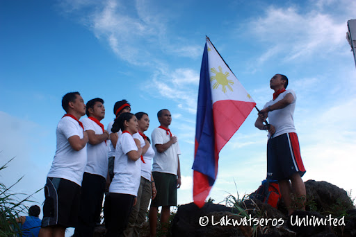
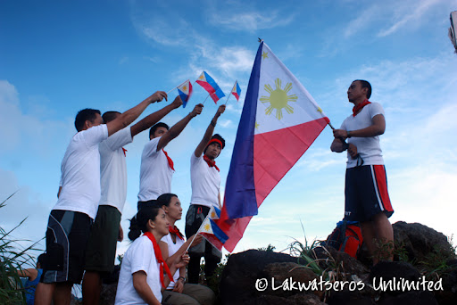
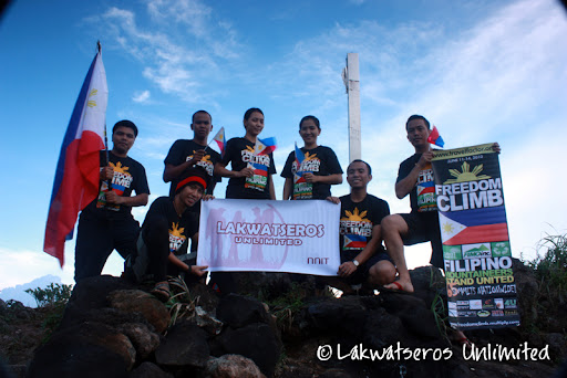
Mt. Gulugod baboy
Brgy. San Teodoro, Mabini, Batangas
Jump-off Point: Philpan Beach Resort, Anilao, Batangas
Location: 13" 43.000N 130" 53.000E
Elevation: 470 meters above sea level
Specs: Minor
climb, Difficulty 2/9, Trail class 1-2
Days required / Hours to summit: Half-day / 1-2 hours
Distinct Characteristics: 360" view of Anilao
BACKGROUND
Gulugod-Baboy is
the general term that describes the hills that traverse Calumpan
Peninsula. Located in Southern Batangas, the peninsula is more known for
the diving resorts of Anilao – the birthplace of Philippine scuba
diving. Since dive enthusiasts are also enthusiasts for anything
‘outdoor’, they began exploring the hills, and soon, Gulugod Baboy
became a hiking destination on its right, although today it remains a
popular sidetrip to a diving escapade to Anilao, or to the nearby
Sombrero or Maricaban islands.
There is confusion regarding where
the real “Gulugod-Baboy” is. From SE to NW (from Brgy. San Teodoro to
Brgy. Laurel), there are three peaks in the range. The first is 470
MASL, the second is 485 MASL, and the third is 525 MASL. This third has a
large, ancient tree as its landmark, and is known to mountaineers as
the real Gulugod Baboy. However, locals say that this third peak is
actually Mt. Pinagbanderahan, and the first peak is the Gulugod Baboy.
Fans of Long Henson, father of itineraries, would remember that he wrote
about a Mt. Pinagbanderahan in Mabini, Quezon. This may actually refer
to Mabini, Batangas, and is actually one and the same as the
Gulugod-Baboy we know. Thus, there are three peaks, from SE to NW:
Gulugod-Baboy, Gitna, and Pinagbanderahan.
Gulugod-Baboy is a
playground for adventure: you can refer to the map and ascend/descend to
any point in the peninsula using the compass. Most directions have
trails; indeed there are many trails in the mountain which is both an
advantage and a disadvantage. At its peaks, you can see, from east to
west: Janao Bay, Maricaban strait which bears Sombrero and Maricaban
islands, a distant, faint blue Mindoro, Verde Island (SW) and Batangas
Bay. The city and port of Batangas is visible on the west, following a
farther Mt. Daguldul. To the north is Mt. Maculot, and even Mt. Batulao
and the Tagaytay highlands.
TRIVIA
Gulugod-Baboy means
“pig’s spine”, so named because of the contours of the hills. “Gulod”,
however, means hill; “pig’s hill” can also depict the pastoral scene of
the mountain. You would normal encounter cows, goats, and in the past,
pigs, as you trek through the mountain.
SUGGESTED ITENERARY
Day 1
05:30 - Assembly @ 7-11 Taft, Buendia
06:00 - ETD Mabini, Batangas (crossing/ junction jeepney ride going to Anilao-Eagle Point )
09:00 - ETA Mabini, Batangas (crossing/ junction 1st jeepney ride going to Anilao-Eagle Point ) (last minute na pamimili sa palengke kung may bibilhin kayo)
10:00 - ETD for Brgy. Sulo(market/terminal another 2nd jeepney ride to jump-off- Philpan Dive)
13:00 - ETA Jump off LUNCH! Philpan Dive Resort (Equipment/last minute check)
13:30 - Start of trek.
15:30 - Campsite na!!! Pitch tent (Pwede tayong maaga makarating or late depende sa pacing)
18:00 - Prepare Dinner
20:00 - Socials
22:30 - Lights out
Day 2
05:30 - Wake up call, prepare Breakfast (maaga ang wake-up call para mahaba ang time natin sa beach)
06:30 - Break Camp
07:30 - Start Decent
09:30 - ETA Philpan Beach Resort (Lunch and swimming)
01:00 - Get ready for departure (depende ito kung mabilis tayo lahat kumilos)
13:30 - ETD Philpan
15:30 - ETA Tritan Bus Station Batangas
16:00 - ETD for Manila
18:00 - ETA Manila
Estimated Expenses: (as of March 2010)
- Calabarzon bus - 166.50php
- Anilao jeep - 30php
- Philpan trike - 80php (3climbers)
- Register - 10php
- Guide - 250php (09091321862 jun2/alvaro) (optional)
- Entrance to Philpan beach - 60php
- Cottage - 300php (hati-hati)
Special Consideration in Climbing
During summer, the
bare shoulder becomes too hot so it is better to hike in the late in the
afternoon and leave early the next day. At the jump-off point there is a
store where u can buy other needs. There is also no water source
available at the campsite so bring enough water. Last water source is
the last house before the campsite. The trek would only take 2 hours
depend on the pacing. Watch out for dogs, cows and horses roaming around
the campsite.
Reference:
Pinoy Mountaineer